Why a new study was needed
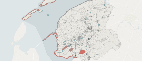
Dutch municipalities must draw up a heat transition programme by the end of 2027. This requires insight into which sustainable heat sources are available locally. The national aquathermal viewer only gives a rough indication. It does not account for changing flow directions, seasonal variations or the way installations affect each other, so it misjudges the potential. In the HDSR area, where waterways are closely interconnected and flow directions can reverse, an area-wide approach is needed.
A thermal model of the entire water system
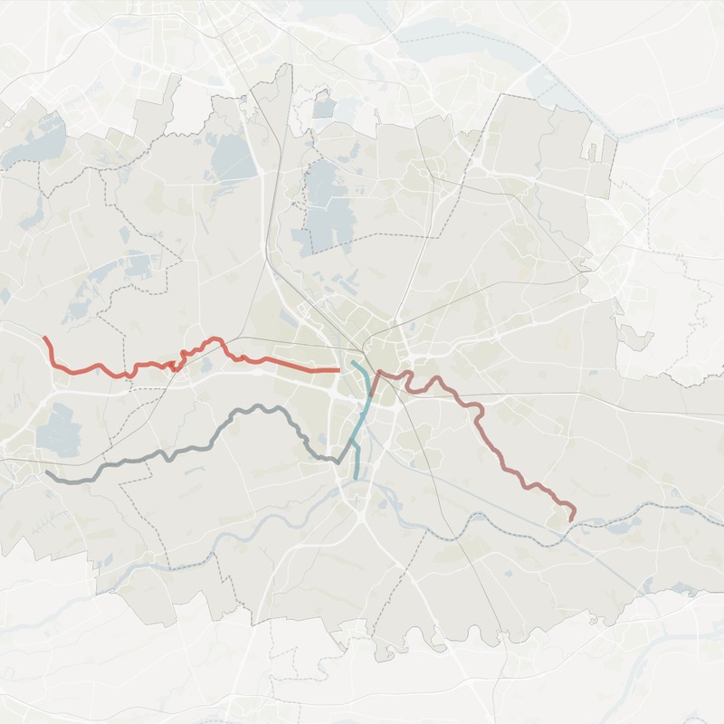
EXTRAQT built a Digital Twin of the water system and calculated the source potential dynamically. The model accounts for natural heat regeneration, variations in discharge and flow direction, mixing within the waterway and seasonal heat profiles. This shows how cooling spreads through the network of waterways and how extractions influence each other upstream and downstream. Nature-friendly banks, where the water board does not allow installations, were excluded. These locations create rest and regeneration in the system, which in turn yields extra potential elsewhere.
Ecology as a full boundary condition
Alongside the thermal model, we developed an ecological model. When water is filtered, plants and micro-organisms are drawn in, and not all of them survive. The model calculates the total effect of water intake along the waterway, including the recovery that takes place in the meantime. This makes it possible to assess the combined effect of multiple installations.
The study tests against the water board's limits:
- Temperature: the deviation may not exceed 4 °C anywhere. At water temperatures between 10 and 15 °C, during the spawning and growth season, the limit is 2 °C.
- Discharge: an installation may take in at most 10% of the local discharge.
- Survival: the relative concentration of surviving organisms may not drop below 90% anywhere along the waterway. This rule was newly introduced in the study to assess cumulative effects.
-
What the results show
Across all scenarios, the ecological limit proved stricter than the thermal limit. Under the ecological limit, 7–13% of heat demand can be met with aquathermal energy; under the thermal limit, 23–30%. When both limits apply, the potential is slightly lower still: they reinforce each other and must be assessed together.
Two choices on the demand side make a big difference:
- Combining with aquifer thermal energy storage (ATES): this increases the usable potential in every scenario, because heat demand is spread more evenly over the year.
- Connecting only priority areas: connecting only the RES region's priority areas sharply increases the share of local demand that can actually be met with aquathermal energy. The limited source potential is then not spread too thin.
The conclusion: how much heat can be sustainably extracted from the water depends not only on the water itself, but also on where and when the heat is needed.
Explore the atlas
All results are available in an interactive atlas with three sections: Sources (Bronnen), Consumers (Afnemers) and Boundary conditions (Randvoorwaarden). Municipalities, the water board and project initiators can use it to assess, per waterway and per neighbourhood, where aquathermal energy is feasible and desirable. Explore the results for the thermal impact or the ecological impact.